GUARRAZAR/GUADAMUR NATURAL HABITAT IS SHAPED BY CRUCIAL
FACTORS ,SUCH AS THE PROXIMITY OF TOLEDO, THE IMPORTANT ROUTES
RUNNING THROUGH THE TERRITORY IN ANCIENT TIMES, INADEQUATE LAND FOR
AGRICULTURE AND VALUABLE MINERAL SEAMS.

GEOGRAPHICAL LOCATION

Mapa_2
Current topographical map (E:1/200.000) showing location of Guadamur and surroundings
Mapa_1
Topographical map (E:1/500.000) in the late 19th century, whose illustrated list displays pathways, fortresses, mills and mining sites.
Mapa_3
Aerial orthophotograph shows the perimeter covering more than 40 hectares, where archaeological remains dating from the Copper Age until the Middle Age have been discovered.

SOCIOECONOMIC CONTEXT

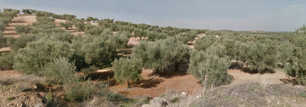
The Municipal district of Guadamur is characterised by rocks emerging from the hills that undermine land suitability for agriculture. Dry-farmed crops predominate, above all being cereals together with vines and olive tree plantations, usually on the same terrain at the same time as the three of them are all compatible.

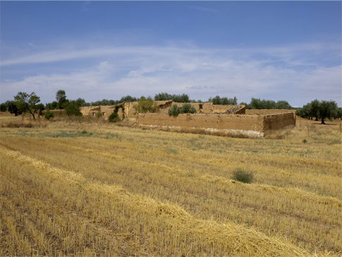
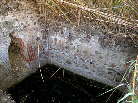
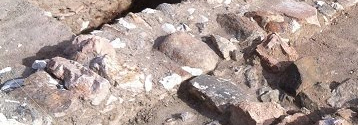
High concentration of sites located in Guarrazar archaelogical compound is due to critical factors such as the existence of permanent springs, two valleys with good agricultural lands for horticultural products and finally the proximity to metalliferous mineral deposits.

At present, more than 80% of crops and vineyards have disappeared. The cultivation of cereals has also decreased significantly because of a substantial increase of the olive groves, whose increase has tripled since the 19th century.

The so-called “Casa de Higinio” near Guarrazar remains as a witness of what a smallholder horticulture was until the second half of 20th century.
A traditional winery of Guadamur in an stationary condition for more than twenty years.
The aqueduct of Huerta Larga (locality of Guarrazar)
Borehole of Huerta Larga (locality of Guarrazar), an example of horticulture land provided with plenty of water around thirty years ago.

MILITAR CONTEXT

Three fortresses situated very close to each other were surely able to meet the objective of controlling the territory, although the control focused mainly on the overland routes, of vital importance to economy from Prehistory till the present time. The settlement of Portusa, the place name probably of Roman origin and located about 7,5 kilometres northwest of Guadamur, was an important Tajo river crossing point through barges; additionally, many routes oriented in southeast to northwestern and southwestern to northeast directions converged there.

fortaleza_1
Cervantes Tower.
fortaleza_2
Castle of Guadamur
fortaleza_3
Polán Castle

GEOLOGY AND MINING

Geologically, the territory of Guadamur possesses substantial argentiferous (lead and
silver) galena and graphite seams. This circumstance has aroused the development of a
mining industry of some importance throughout history.

This importance is illustrated by the existence of sixteen mining concessions for exploiting
lead in late XIX century and nineteen ones for exploiting graphite in the early twentieth
century.

The fact that Guarrazar might be a word of Arab origin, meaning “valley of lead” entails the
possibility that mining had have been the main economic activity, which would justify site
occupancy during centuries of Andalusí domination.

geologia_1
Graphite mine of Coto del Minero in Guadamur
geologia_2
Current picture of one of the wells belonging to La Trinidad mines

WATER MILLS

Ruins of Casquilla and Alegre mills, situated on the banks of Guajaraz stream, are
important assets belonging to cultural heritage. They provide valuable background
information on “industrial” activities undertaken in the area throughout the Middle Ages and
part of the Modern Age as well.

molino_1
Casquilla or Tío Lego mill (Guadamur)
molino_2
Alegre Mill (Argés)